Automotive News: Most Dangerous Highways in California
California’s vast highway system includes some of the most challenging roads in the country. Certain highways are known for their high accident rates and hazardous conditions due to factors like sharp curves, heavy traffic, and weather-related risks.
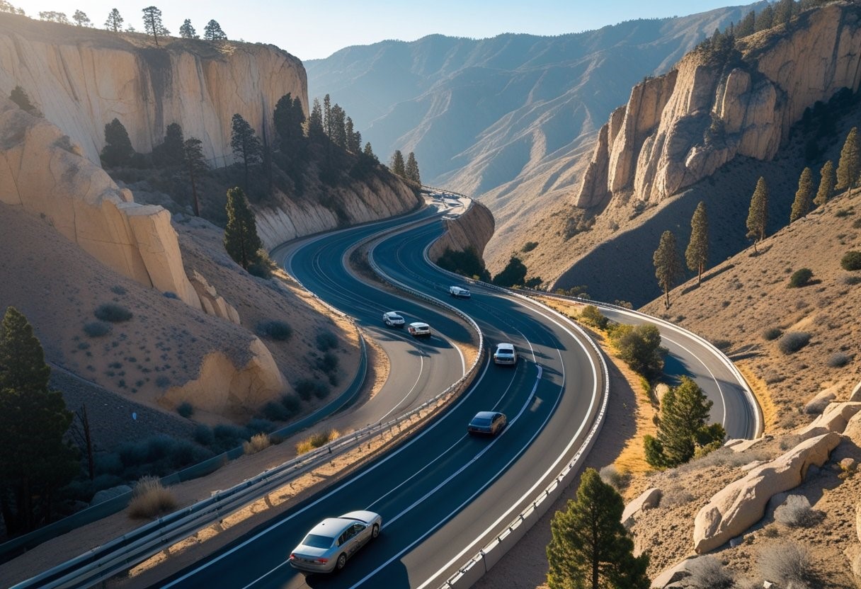
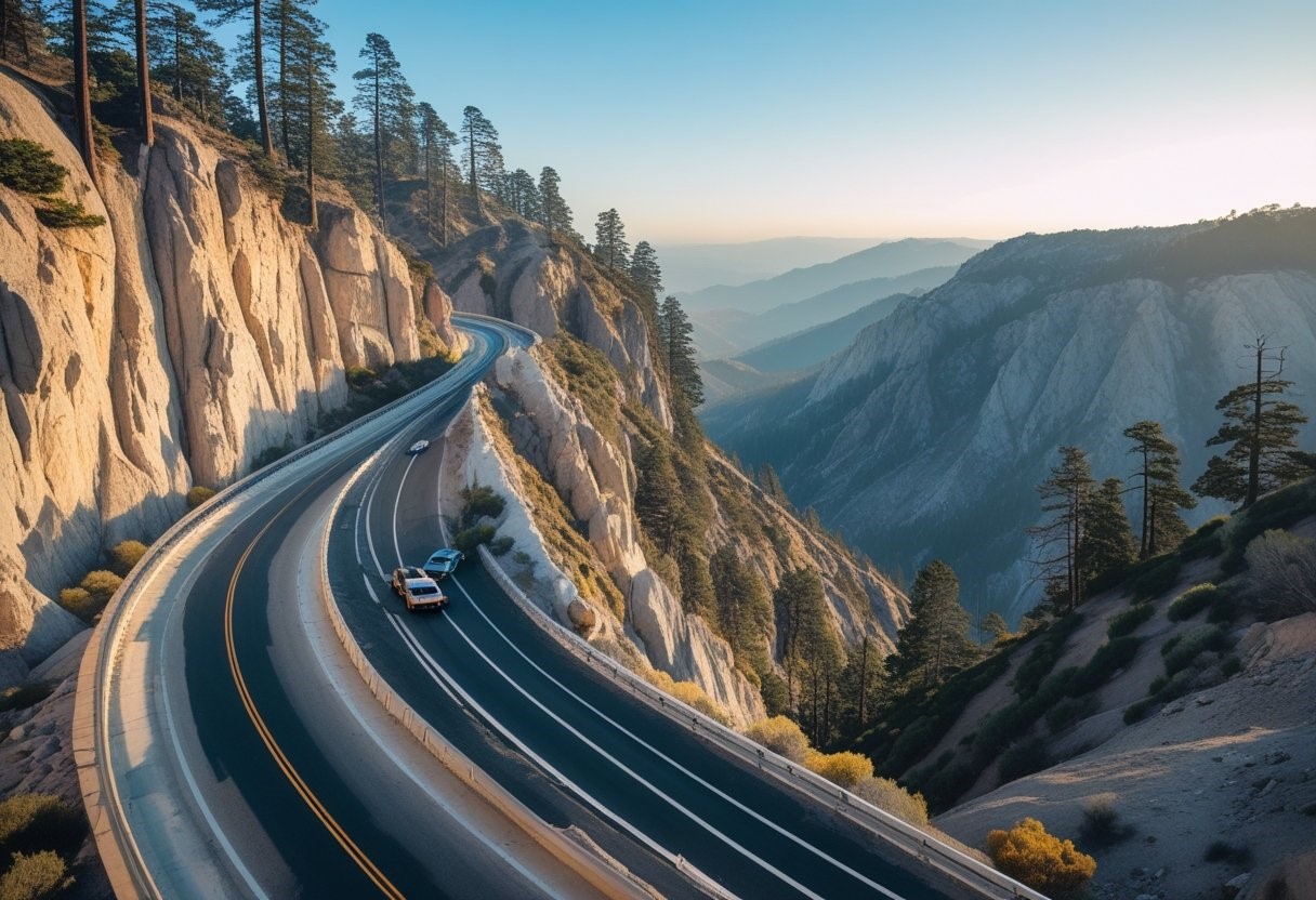
The most dangerous highways in California include sections of State Route 1, Interstate 5, and U.S. Route 101, where accidents and fatalities occur more frequently than on other roads. Drivers on these roads should exercise extra caution and be aware of potential dangers.
Understanding which highways pose higher risks can help travelers make safer decisions.
Overview of the Most Dangerous Highways in California
The most dangerous highways in California are identified through specific data-driven factors. Key elements include accident rates, road conditions, and traffic behaviors that influence safety.
Criteria for Highway Danger
Highway danger is primarily measured by the number of crashes per mile and fatality rates. California uses detailed traffic collision reports collected by the Department of Transportation.
Speed limits play a role; highways with higher limits, such as 65-70 mph zones, often see more severe accidents. The consistency of speed limits and enforcement across different regions also affects risk levels.
Other criteria include shoulder width, road curvature, visibility, and traffic volume. Areas with poor lighting or narrow lanes tend to have higher incidence rates. The combination of these metrics provides a clear assessment of hazardous roadways.
Factors Contributing to High Accident Rates
Excessive speeding beyond California’s speed limits contributes significantly to accidents. Drivers often exceed posted limits, especially in less urbanized areas, increasing crash severity.
Road design flaws such as sharp curves, inadequate signage, and limited escape routes also raise danger levels. Weather conditions, including fog and rain common in parts of California, reduce visibility and traction.
Human factors like distracted or impaired driving, along with peak congestion times, elevate risks. Highway maintenance lapses, such as potholes and unclear lane markings, further degrade safety on these roads.
Notorious Highways with the Highest Fatalities
Certain highways in California have consistently recorded high numbers of fatal accidents. These roads experience a mix of heavy traffic, varying speed limits, and challenging driving conditions that contribute to their dangerous reputation.
Interstate 5
Interstate 5 is one of California’s most traveled highways and also ranks high in fatalities. It runs through urban and rural areas with speed limits varying mostly between 65 and 70 mph.
The stretch through the Central Valley is especially risky due to long, straight sections encouraging high speeds and driver fatigue. Heavy commercial truck traffic adds to the danger on this route.
Accident reports often cite rear-end collisions and high-speed crashes as common causes of fatalities. Despite various safety measures, the combination of traffic volume and diverse driving conditions continues to make I-5 hazardous.
State Route 99
State Route 99 is notorious for frequent deadly collisions, particularly in its southern and central sections. Speed limits here mostly range from 55 to 65 mph, with some urban areas even lower, creating inconsistent flow.
This highway passes through densely populated agricultural regions, leading to a mix of commuter and heavy truck traffic. Dangerous intersections and limited access points increase accident risks.
Statistics show a high number of fatal crashes related to head-on collisions and vehicles running off the road. Efforts to expand and upgrade this highway aim to reduce accidents, but it remains a hotspot for fatalities.
Deadly Stretches and Hotspots
Certain parts of California’s highways have consistently higher accident rates, with specific stretches known for frequent and severe collisions. These areas often combine high traffic volume, challenging terrain, and complex driving conditions.
Interstate 15
Interstate 15, especially the section between San Bernardino and Barstow, is one of the most hazardous in California. This stretch passes through high desert terrain, which can lead to sudden weather changes and reduced visibility.
Traffic congestion and high speeds increase the risk of multi-vehicle crashes. The route also has several steep grades, creating challenges for heavy trucks and passenger vehicles. Accidents involving commercial vehicles are common here.
Safety measures like improved lighting and signage have been added, but the combination of long stretches without services and driver fatigue remains an ongoing issue. Drivers should exercise caution and stay alert.
U.S. Route 101
The portion of U.S. Route 101 running through the Santa Barbara and Ventura counties is known for its dangerous curves and frequent accidents. Coastal fog and narrow lanes contribute to risky driving conditions.
This highway hosts a high volume of both local and tourist traffic, leading to congestion and occasional aggressive driving. Areas near Gaviota Pass have elevated crash rates due to winding roads and limited visibility.
Several fatal accidents on this route have prompted interventions such as rumble strips and speed enforcement cameras. Despite these efforts, the combination of geography and traffic demands vigilance from drivers.
Contributing Factors to Highway Danger
Several elements increase the risks on California highways, from environmental conditions to infrastructure issues. A combination of sharp curves, variable speed limits, and frequent weather changes demand constant attention from drivers.
Weather Conditions
California experiences diverse weather, including fog, rain, and occasional snow in mountainous areas. Fog reduces visibility sharply, especially on coastal highways like US 101, increasing collision risks.
Rain makes roads slippery, particularly on highways with steep grades such as Interstate 5 near the Grapevine. Wet surfaces can cause hydroplaning, and drivers often fail to adjust speeds to the posted limits, which range between 55 and 70 mph.
Mountainous regions on highways like State Route 1 may see icy patches during winter. These conditions often catch drivers off guard, leading to accidents. Proper lighting and warning signs help but cannot eliminate weather-related hazards.
Road Design and Maintenance
Certain highways have sharp curves, narrow shoulders, and limited guardrails, all contributing to accidents. For example, the Pacific Coast Highway has many blind corners and steep drop-offs that challenge even experienced drivers.
Poor maintenance, such as potholes or faded lane markings, affects driver control. Speed limits are set according to road conditions, but failure to enforce them or drivers ignoring limits adds to danger.
High traffic volume paired with insufficient passing lanes creates risky situations, especially on two-lane highways. Areas with ongoing construction or outdated road designs require constant updates to improve safety and reduce crashes.
Urban Versus Rural Highway Risks
The risks on California highways vary significantly between urban and rural areas due to differences in traffic behavior and emergency response capabilities. These variations affect accident rates and outcomes.
Differences in Traffic Patterns
Urban highways experience heavy traffic volumes, especially during rush hours. Congestion leads to frequent stop-and-go conditions, raising the risk of rear-end collisions. Drivers often face distractions from nearby businesses and complex interchanges.
Rural highways have lower traffic density but higher speeds. This combination increases the risk of fatal crashes involving single vehicles or wildlife. Limited lighting and fewer barriers often contribute to severe accidents.
Vehicle types also differ: urban roads see more passenger cars and commercial vehicles, while rural roads have trucks and agricultural equipment. This mix influences accident characteristics and risks.
Challenges in Emergency Response
Emergency response times on rural highways are generally longer than in urban areas. Remote locations and difficult terrain can delay ambulance and fire services. Limited cell coverage further complicates communication.
Urban highways benefit from quicker access to hospitals and emergency personnel due to dense infrastructure. However, traffic congestion sometimes slows emergency vehicles.
Resource availability varies; rural areas may have fewer specialized responders or equipment. These factors affect the severity of injuries and survival rates after crashes in different settings.
Seasonal and Time-Related Dangers
Certain times and seasons significantly affect driving conditions and accident rates on California highways. Increased traffic volume and reduced visibility are key factors that contribute to the risks during these periods.
Holiday Travel Peaks
Holiday periods, especially between Thanksgiving and New Year’s, see a sharp rise in highway congestion. Routes like I-5 and US-101 frequently experience heavy traffic, increasing the likelihood of rear-end collisions and multi-car pileups.
Speeding and aggressive driving also escalate during holidays due to traveler impatience. Additionally, impaired driving incidents tend to rise, particularly around New Year’s and Independence Day. Authorities often deploy increased patrols, but accident rates remain higher than average.
Nighttime Collision Risks
Driving after dark poses increased dangers due to limited visibility and driver fatigue. Highways such as SR-99 and I-80 record more single-vehicle crashes after sunset.
Reduced reaction time to obstacles and merging vehicles significantly raises crash severity at night. Pedestrian and cyclist visibility is also compromised. Proper lighting and cautious driving are critical but often neglected factors in nighttime safety on California highways.
The Role of Speed Limits in Accidents
Speed limits in California are intended to balance traffic flow and safety, but varying enforcement and regional driving habits affect their impact on accidents. Understanding these influences clarifies why some highways experience more crashes related to speed.
Enforcement Challenges
California speed limits are enforced by local police and the California Highway Patrol (CHP), but resource limitations often hinder consistent monitoring. Officers focus on high-risk areas, yet speeding remains common on many dangerous highways due to infrequent patrols.
Technological solutions like speed cameras are limited in use across California, reducing automated enforcement opportunities. Additionally, legal challenges and public resistance slow broader adoption of these tools, making enforcement less effective in controlling excessive speeds.
Variable speed limits on some highways adjust limits based on conditions, but drivers sometimes ignore these changes. This noncompliance adds complexity to enforcement efforts, as officers must address both static and dynamic violations.
Speeding Trends by Region
Speeding rates differ significantly across California’s regions. Urban areas like Los Angeles have lower speed limits (usually 55 mph or less) but still report many accidents linked to rapid acceleration and aggressive driving.
Rural highways often have limits up to 70 mph. These areas see more severe accidents due to higher speeds and longer stopping distances. Drivers frequently exceed posted limits on stretches such as portions of Interstate 5 and Highway 99.
Mountainous and coastal highways, with variable and often lower speed limits due to curves and terrain, experience accidents when drivers fail to reduce speed. Regions like the Pacific Coast Highway reveal the dangers when speed limits are ignored in complex driving environments.
Technological and Legislative Initiatives
California uses a combination of technology upgrades and legal reforms to address highway dangers. These efforts aim to improve road conditions and enforce safer driving behaviors.
Highway Safety Improvements
Caltrans has installed automated speed enforcement cameras in high-risk zones to reduce speeding. Dynamic message signs provide real-time alerts about accidents and traffic conditions.
Road resurfacing and the addition of rumble strips on key highways increase driver awareness and reduce run-off-road crashes. Guardrails and median barriers have been upgraded in critical sections to prevent head-on collisions.
Intelligent Transportation Systems (ITS) are deployed on busy corridors, integrating traffic data to optimize signal timing and manage congestion safely.
Proposed Law Changes
Legislators are considering stricter penalties for distracted driving, especially use of handheld devices. Proposals include mandatory ignition interlocks for drivers convicted of DUI-related offenses.
Changes to lane-splitting regulations aim to clarify safety parameters for motorcyclists. Bills are also under review to increase funding for local traffic enforcement targeting reckless driving.
A recent bill proposal suggests expanding the use of automated enforcement beyond speed cameras to include red-light cameras on dangerous highway intersections.
Safe Driving Tips for California Highways
Safe driving on California highways requires awareness of other drivers and thorough preparation for difficult road conditions. Key strategies include anticipating hazards and knowing the specifics of the routes involved.
Defensive Driving Techniques
Drivers should maintain a safe following distance of at least three seconds behind the vehicle in front to allow enough time to react. Constantly scanning mirrors and blind spots helps identify potential dangers early.
Avoid distractions such as phone use or eating, as these reduce reaction times. Adjust speed to match road and traffic conditions, especially in areas known for heavy congestion or sharp turns.
Using signals well in advance informs others of intended maneuvers. If another driver behaves unpredictably, staying calm and yielding where possible minimizes conflict.
Preparation for Challenging Routes
Before entering known dangerous highways, drivers should check weather, traffic, and roadwork updates. Carrying emergency supplies such as water, a flashlight, and a first-aid kit is advisable.
Familiarity with the specific route helps recognize steep grades, narrow lanes, and high-accident zones. Planning rest stops reduces fatigue on long stretches.
Vehicle maintenance is critical—brakes, tires, and lights must be in optimal condition to handle sudden stops and poor visibility. Adjust driving times to avoid peak congestion when possible.
Resources for Accident Data and Highway Safety
Accurate accident data and targeted safety efforts are crucial for understanding and reducing risks on California highways. Reliable sources provide detailed crash statistics, traffic patterns, and safety recommendations. Public campaigns also play a role in educating drivers and promoting safer behaviors.
State and Federal Reports
The California Highway Patrol (CHP) publishes an annual Statewide Integrated Traffic Records System (SWITRS) report. This database offers detailed information on traffic collisions, including locations, causes, and outcomes. It is a primary source for identifying high-risk highways.
The National Highway Traffic Safety Administration (NHTSA) provides federal-level data that complements state records by analyzing broader trends in vehicle safety and accident causes. Both agencies use this data to shape laws and safety regulations.
Reports often include:
- Collision frequency by highway segment
- Fatalities and injury severity
- Common causes such as speeding, distracted driving, or impaired operation
These data-driven insights support effective highway safety interventions.
Public Safety Campaigns
California deploys multiple public safety campaigns focused on reducing crashes on dangerous highways. These include awareness efforts targeting seatbelt use, DUI prevention, and distracted driving.
Campaigns such as “Drive Sober or Get Pulled Over” use media ads, checkpoints, and partnerships with law enforcement to enforce compliance. Another example is “Click It or Ticket,” which promotes seatbelt usage with measurable impact.
Several campaigns specifically address rural or high-traffic highways where accident rates are notably higher. They emphasize behavioral change and informed driving choices through pamphlets, billboards, and social media outreach.
These initiatives seek to lower accident rates by influencing driver decisions directly.
Conclusions
California’s most dangerous highways include State Route 138, U.S. Route 101, Interstate 5, and State Route 1. These roads experience high accident rates due to a combination of heavy traffic, challenging terrain, and frequent weather changes.
State Route 138, known as the “Blood Alley,” is notorious for sharp curves and limited visibility, contributing to numerous fatal crashes. U.S. Route 101, running through urban and rural areas, faces congestion and distracted driving issues. Interstate 5, a major north-south artery, sees accidents linked to high speeds and heavy commercial truck traffic. State Route 1, the scenic coastal highway, poses risks from narrow lanes, steep cliffs, and frequent fog.
Contributing factors to highway danger in California include driver behavior (speeding, distracted or impaired driving), road design flaws, wildlife crossings, and unpredictable weather conditions such as fog and rain. Efforts to improve safety focus on better signage, road maintenance, and increased law enforcement presence.